


0
Ascents

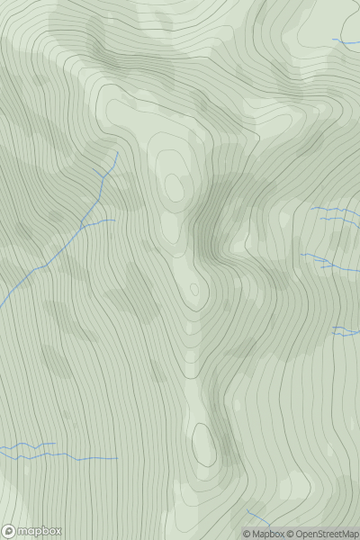
 Loch Duich to Cannich
 0
0 932.9
932.9User Activity
No recent Activity
0
Ascents
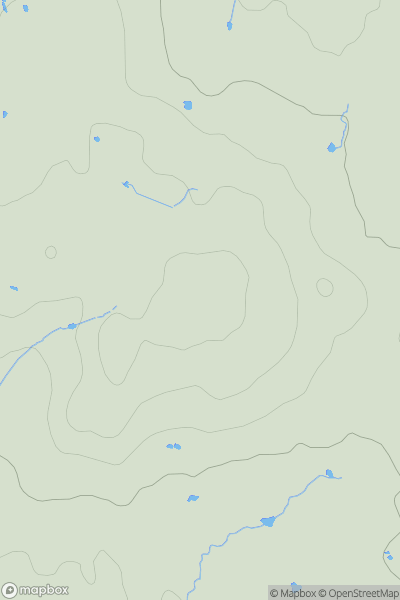
South East England
0
86.7User Activity
No recent Activity
0
Ascents
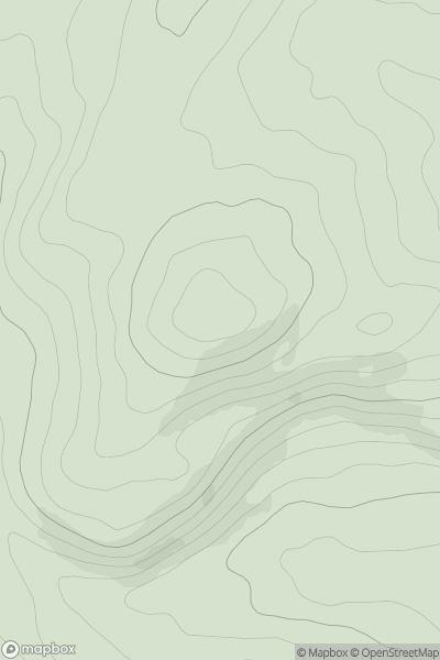
The River Tweed to the English Border
0
282.0User Activity
No recent Activity
0
Ascents
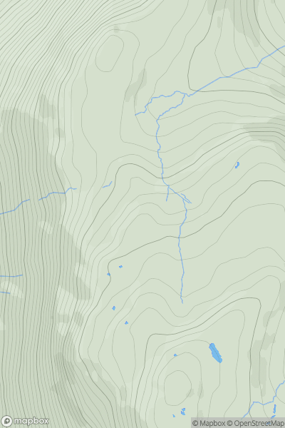
Lake District E
0
552.0User Activity
No recent Activity
0
Ascents
Snowdonia
0
254.0User Activity
No recent Activity
![Thumbnail image for Pen-y-garth [Llandudno to Wrexham] [SJ215659] showing contour plot for surrounding peak](/static/img/mountains_img_db/14767_Pen-y-garth_[Llandudno_to_Wrexham]_[SJ215659].png)
0
Ascents
Llandudno to Wrexham
0
173.0User Activity
No recent Activity