


0
Ascents

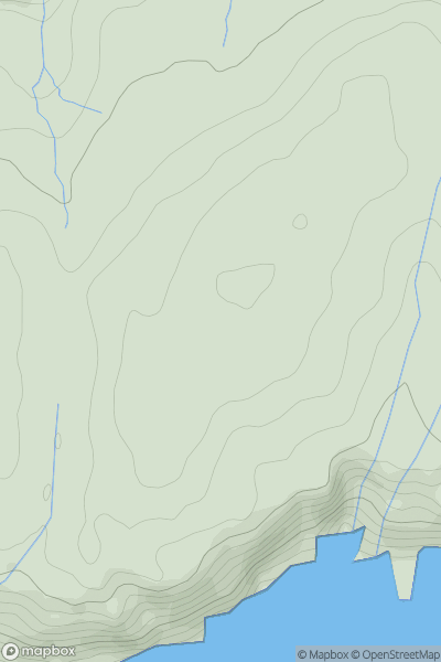
 Canna, Rhum and Eigg
 0
0 149.0
149.0User Activity
No recent Activity
0
Ascents
Orkney Islands
0
153.0User Activity
No recent Activity
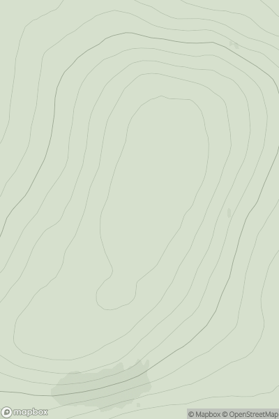
![Thumbnail image for Gull Rock [South West England] [SX117933] showing contour plot for surrounding peak](/static/img/mountains_img_db/18755_Gull_Rock_[South_West_England]_[SX117933].png)
0
Ascents
South West England
0
60.0User Activity
No recent Activity
0
Ascents
Bala to Welshpool
0
551.0User Activity
No recent Activity
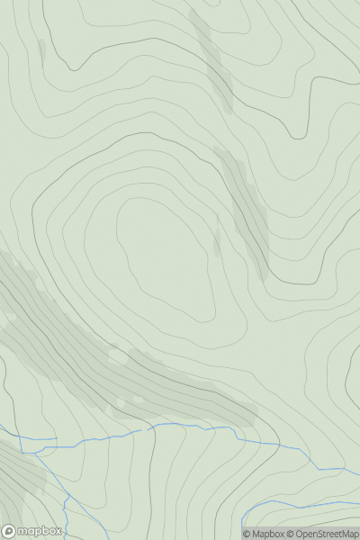
![Thumbnail image for Little Hill [Fraserburgh to the Dee Valley] showing contour plot for surrounding peak](/static/img/mountains_img_db/11669_Little_Hill_[Fraserburgh_to_the_Dee_Valley].png)
0
Ascents
Fraserburgh to the Dee Valley
0
266.0User Activity
No recent Activity
![Thumbnail image for Kirkton Hill [Central Scotland from Dumbarton to Montrose] showing contour plot for surrounding peak](/static/img/mountains_img_db/12914_Kirkton_Hill_[Central_Scotland_from_Dumbarton_to_Montrose].png)
0
Ascents
Central Scotland from Dumbarton to Montrose
0
253.0User Activity
No recent Activity