


0
Ascents

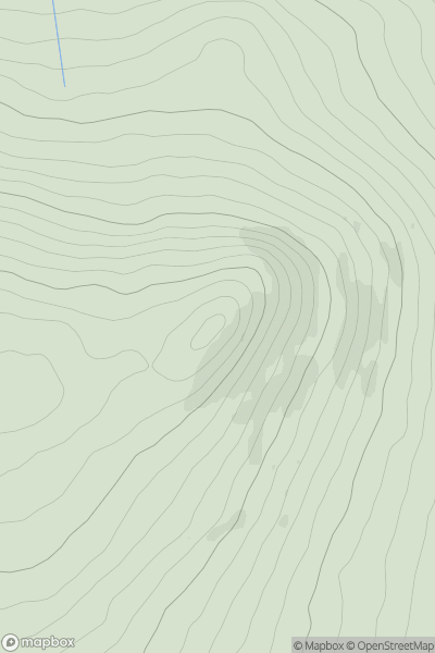
 Lancashire, Cheshire and S Pennines
 0
0 198.0
198.0User Activity
No recent Activity
0
Ascents
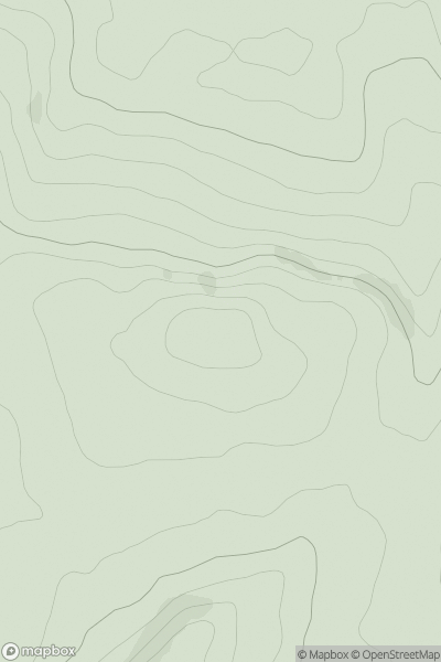
South-West Wales
0
346.0User Activity
No recent Activity
0
Ascents
The River Tweed to the English Border
0
444.0User Activity
No recent Activity
0
Ascents
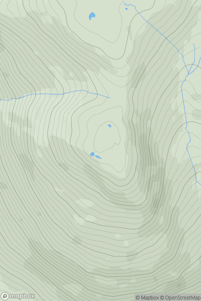
Lake District C&W
0
740.0User Activity
No recent Activity
0
Ascents
South West England
0
539.0User Activity
No recent Activity
0
Ascents
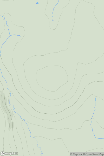
North Pennines
0
82.0User Activity
No recent Activity