

_(Lugnabrick_NE_Top).png)


0
Ascents

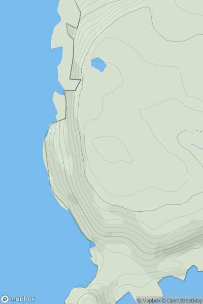
 Maumturk Mountains
 0
0 494.0
494.0User Activity
No recent Activity
0
Ascents
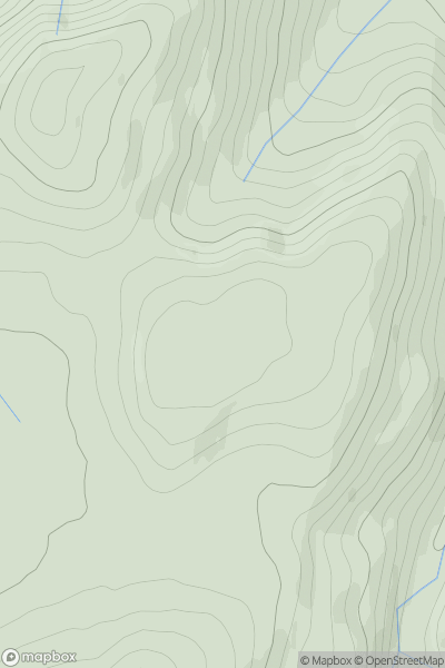
South-West Wales
0
40.0User Activity
No recent Activity
0
Ascents
North Skye and Raasay
0
124.0User Activity
No recent Activity
![Thumbnail image for Creag na Caillich [Glen Affric to Glen Moriston] showing contour plot for surrounding peak](/static/img/mountains_img_db/8803_Creag_na_Caillich_[Glen_Affric_to_Glen_Moriston].png)
0
Ascents
Glen Affric to Glen Moriston
0
404.0User Activity
No recent Activity
![Thumbnail image for Meall nan Eun [Loch Rannoch to Glen Lyon] showing contour plot for surrounding peak](/static/img/mountains_img_db/2963_Meall_nan_Eun_[Loch_Rannoch_to_Glen_Lyon].png)
0
Ascents
Loch Rannoch to Glen Lyon
0
876.5User Activity
No recent Activity
0
Ascents
Welshpool to Hay-on-Wye
0
408.0User Activity
No recent Activity