

.png)


0
Ascents

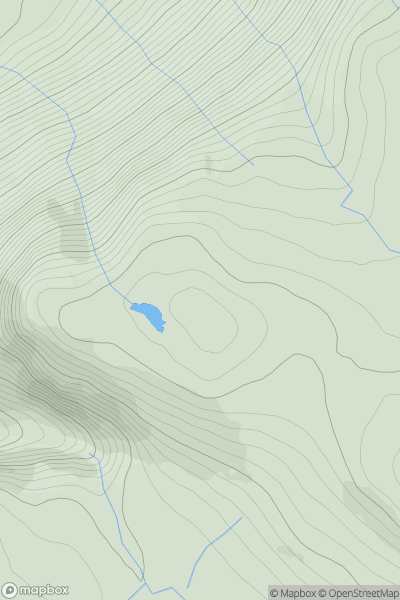
 Lake District N
 0
0 285.0
285.0User Activity
No recent Activity
0
Ascents
Inveraray to Crianlarich
0
532.0User Activity
No recent Activity
.png)
0
Ascents
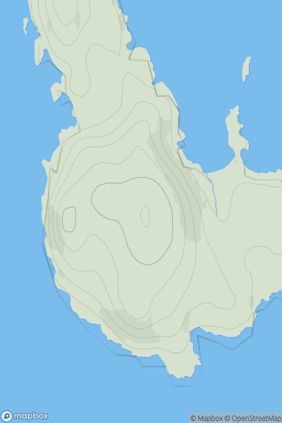
Arran and Holy Island
0
660.8User Activity
No recent Activity
![Thumbnail image for The Knoll [South Central England] showing contour plot for surrounding peak](/static/img/mountains_img_db/18127_The_Knoll_[South_Central_England].png)
0
Ascents
South Central England
0
181.0User Activity
No recent Activity
![Thumbnail image for Cnoc Breac [Altnaharra to Dornoch] showing contour plot for surrounding peak](/static/img/mountains_img_db/9624_Cnoc_Breac_[Altnaharra_to_Dornoch].png)
0
Ascents
Altnaharra to Dornoch
0
237.0User Activity
No recent Activity
0
Ascents
Lewis and Nearby Islands
0
66.0User Activity
No recent Activity