


0
Ascents

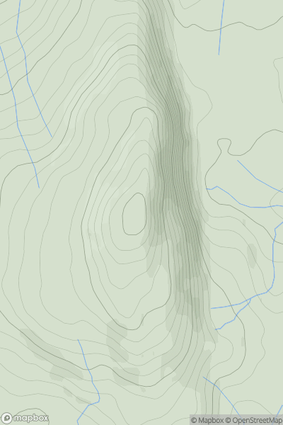
 Barmouth to Betws-y-Coed and Bala
 0
0 662.0
662.0User Activity
No recent Activity
0
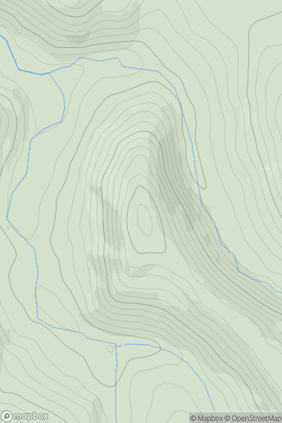
Ascents
Aberystwyth to Welshpool
0
217.0User Activity
No recent Activity
0
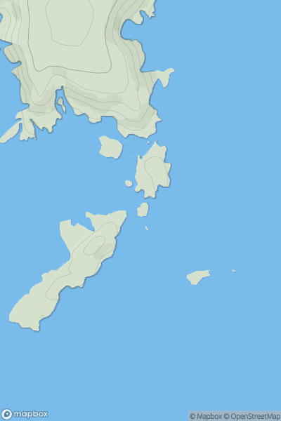
Ascents
South-West Wales
0
30.1User Activity
No recent Activity
0
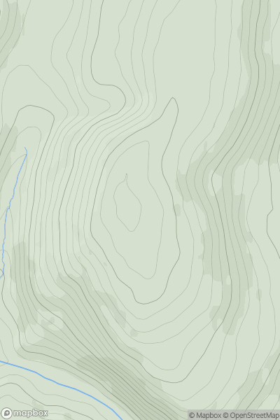
Ascents
Welshpool to Hay-on-Wye
0
426.2User Activity
No recent Activity
0
Ascents
South-West Wales
0
334.4User Activity
No recent Activity
0
Ascents
Neath to Chepstow
0
416.0User Activity
No recent Activity