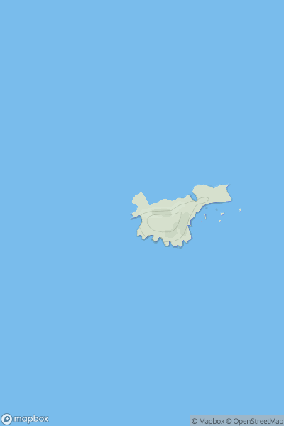
Ariel drone view of mountainous landscape with rolling clouds flowing over peak

Journal your hikes and share your adventures.

Bag peaks across the UK & Ireland, track your progress and see updates from Donder's growing community of hikers.

Donder's profile view available to users after sign-up, shows example user with progress tracking, hiking journal and user leaderboard

Thumbnail image for St Margaret's Island showing contour plot for surrounding peak
WLS
Icon of location pin
40m
Icon of vertical, double ended, arrow to symbolise height of mountain

St Margaret's Island

Icon of mountain used to symbolise the number of ascents made by users

0
Ascents

Thumbnail image for Summer House Hill showing contour plot for surrounding peak
WLS
Icon of location pin
103m
Icon of vertical, double ended, arrow to symbolise height of mountain

Summer House Hill

Icon of mountain used to symbolise the number of ascents made by users

0
Ascents

Thumbnail image for Mynydd Branar showing contour plot for surrounding peak
WLS
Icon of location pin
326m
Icon of vertical, double ended, arrow to symbolise height of mountain

Mynydd Branar

Icon of mountain used to symbolise the number of ascents made by users

0
Ascents

Thumbnail image for Bryn Ffynnon showing contour plot for surrounding peak
WLS
Icon of location pin
440m
Icon of vertical, double ended, arrow to symbolise height of mountain

Bryn Ffynnon

Icon of mountain used to symbolise the number of ascents made by users

0
Ascents

Thumbnail image for Bryn Bedd showing contour plot for surrounding peak
WLS
Icon of location pin
354m
Icon of vertical, double ended, arrow to symbolise height of mountain

Bryn Bedd

Icon of mountain used to symbolise the number of ascents made by users

0
Ascents

Thumbnail image for Pen-y-ffynnon showing contour plot for surrounding peak
WLS
Icon of location pin
408m
Icon of vertical, double ended, arrow to symbolise height of mountain

Pen-y-ffynnon

Icon of mountain used to symbolise the number of ascents made by users

0
Ascents