


0
Ascents

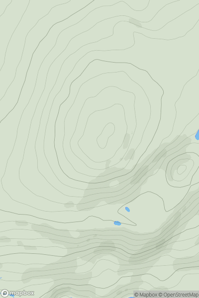
 Snowdonia
 0
0 347.0
347.0User Activity
No recent Activity
0
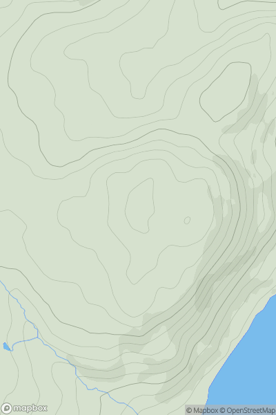
Ascents
Barmouth to Betws-y-Coed and Bala
0
298.0User Activity
No recent Activity

0
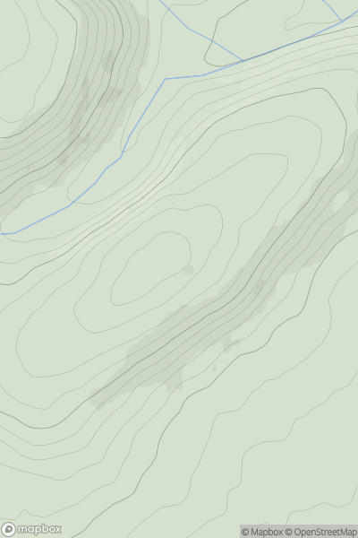
Ascents
South-West Wales
0
475.8User Activity
No recent Activity
0
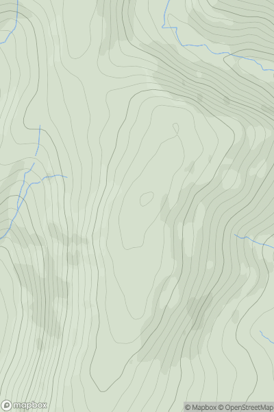
Ascents
South-West Wales
0
238.0User Activity
No recent Activity
0
Ascents
South-West Wales
0
446.0User Activity
No recent Activity
0
Ascents
Snowdonia
0
559.0User Activity
No recent Activity