

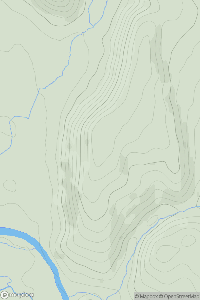
![Thumbnail image for Sugar Loaf [Llandovery to Monmouth] [SN834427] showing contour plot for surrounding peak](/static/img/mountains_img_db/15696_Sugar_Loaf_[Llandovery_to_Monmouth]_[SN834427].png)


0
Ascents

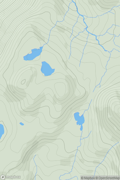
 Llandovery to Monmouth
 0
0 326.0
326.0User Activity
No recent Activity
0
Ascents
Snowdonia
0
458.0User Activity
No recent Activity
0
Ascents
Barmouth to Betws-y-Coed and Bala
0
369.2User Activity
No recent Activity
0
Ascents
South-West Wales
0
87.0User Activity
No recent Activity
0
Ascents
Bala to Welshpool
0
250.0User Activity
No recent Activity
0
Ascents
Neath to Chepstow
0
138.0User Activity
No recent Activity