


0
Ascents

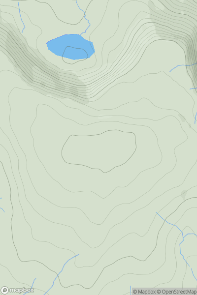
 South-West Wales
 0
0 238.0
238.0User Activity
No recent Activity
0
Ascents
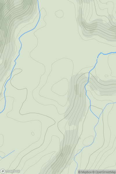
Welshpool to Hay-on-Wye
0
394.0User Activity
No recent Activity
0
Ascents
Welshpool to Hay-on-Wye
0
346.4User Activity
No recent Activity
0
Ascents
Barmouth to Betws-y-Coed and Bala
0
614.4User Activity
No recent Activity
0
Ascents
Neath to Chepstow
0
600.0User Activity
No recent Activity
0
Ascents
Barmouth to Betws-y-Coed and Bala
0
244.0User Activity
No recent Activity