


0
Ascents

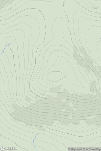
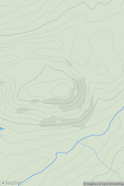
 Anglesey and the Lleyn Peninsula
 0
0 417.6
417.6User Activity
No recent Activity
0
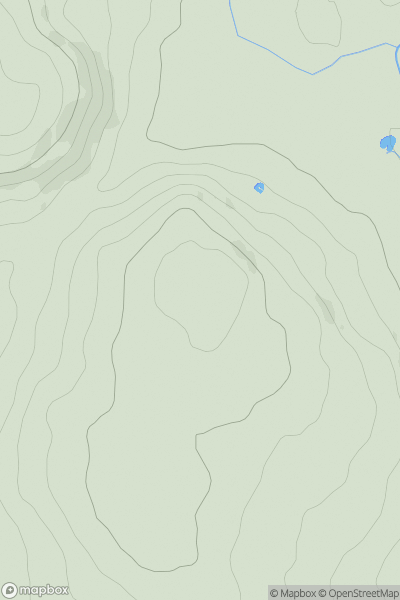
Ascents
South-West Wales
0
221.0User Activity
No recent Activity
0
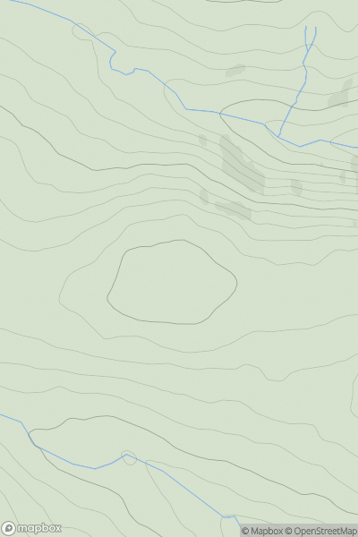
Ascents
South-West Wales
0
510.1User Activity
No recent Activity
0
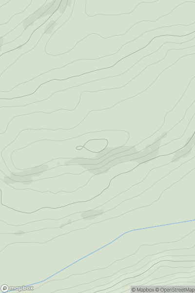
Ascents
Bala to Welshpool
0
209.0User Activity
No recent Activity
0
Ascents
Carmarthen to Vale of Neath
0
283.0User Activity
No recent Activity
0
Ascents
Llandudno to Wrexham
0
402.0User Activity
No recent Activity