


0
Ascents

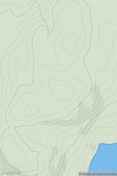
 Snowdonia
 0
0 129.0
129.0User Activity
No recent Activity
0
Ascents
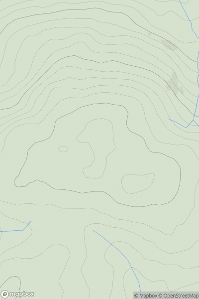
South-West Wales
0
415.0User Activity
No recent Activity
0
Ascents
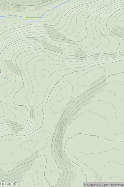
South-West Wales
0
480.9User Activity
No recent Activity
0
Ascents
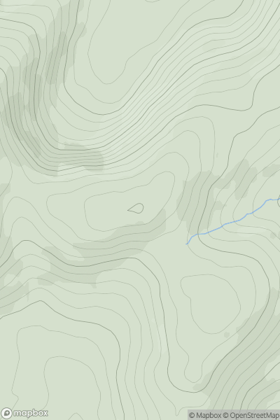
Barmouth to Betws-y-Coed and Bala
0
555.0User Activity
No recent Activity
0
Ascents
Welshpool to Hay-on-Wye
0
442.0User Activity
No recent Activity
0
Ascents
Llandovery to Monmouth
0
276.0User Activity
No recent Activity