


0
Ascents

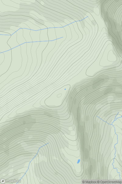
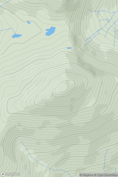
 Dolgellau to Machynlleth
 0
0 766.0
766.0User Activity
No recent Activity
0
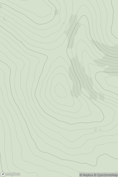
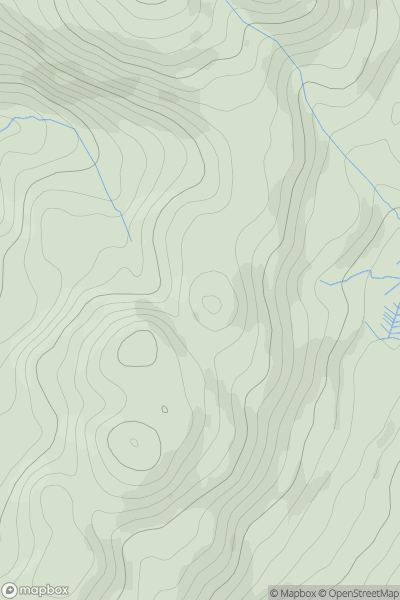
Ascents
Barmouth to Betws-y-Coed and Bala
0
596.0User Activity
No recent Activity
0
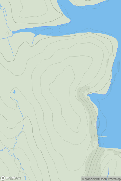
Ascents
Neath to Chepstow
0
144.0User Activity
No recent Activity
0
Ascents
South-West Wales
0
193.0User Activity
No recent Activity
0
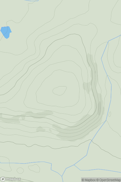
Ascents
Snowdonia
0
747.2User Activity
No recent Activity
0
Ascents
Barmouth to Betws-y-Coed and Bala
0
499.5User Activity
No recent Activity