


0
Ascents

 Dolgellau to Machynlleth
 0
0 392.0
392.0User Activity
No recent Activity
0
Ascents
Welshpool to Hay-on-Wye
0
427.0User Activity
No recent Activity
0
Ascents
Aberystwyth to Welshpool
0
270.0User Activity
No recent Activity
0
Ascents
Anglesey and the Lleyn Peninsula
0
235.9User Activity
No recent Activity
0
Ascents
Anglesey and the Lleyn Peninsula
0
117.0User Activity
No recent Activity
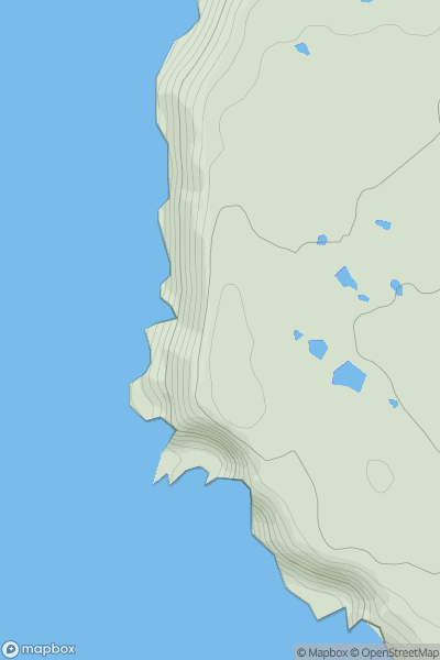
![Thumbnail image for Foel-fras [Snowdonia] showing contour plot for surrounding peak](/static/img/mountains_img_db/1973_Foel-fras_[Snowdonia].png)
0
Ascents
Snowdonia
0
944.1User Activity
No recent Activity