


0
Ascents

 Bala to Welshpool
 0
0 476.0
476.0User Activity
No recent Activity
0
Ascents
Llandudno to Wrexham
0
202.0User Activity
No recent Activity
0
Ascents
Neath to Chepstow
0
73.0User Activity
No recent Activity
0
Ascents
South-West Wales
0
219.0User Activity
No recent Activity
0
Ascents
Dolgellau to Machynlleth
0
132.0User Activity
No recent Activity
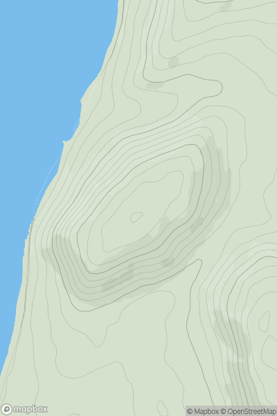
![Thumbnail image for Black Hill [Welshpool to Hay-on-Wye] [SO247693] showing contour plot for surrounding peak](/static/img/mountains_img_db/15018_Black_Hill_[Welshpool_to_Hay-on-Wye]_[SO247693].png)
0
Ascents
Welshpool to Hay-on-Wye
0
404.0User Activity
No recent Activity