


0
Ascents

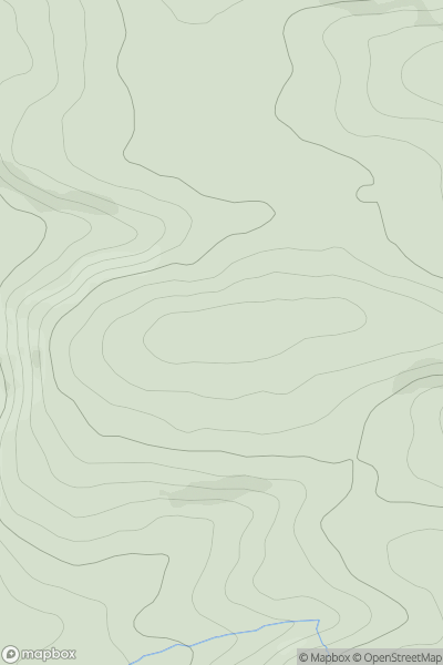
 South-West Wales
 0
0 141.0
141.0User Activity
No recent Activity
.png)
0
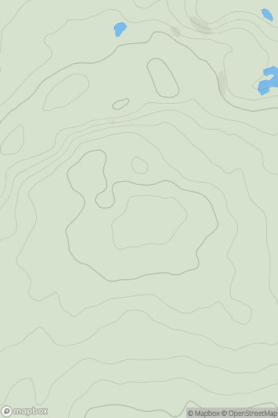
Ascents
South-West Wales
0
547.5User Activity
No recent Activity
0
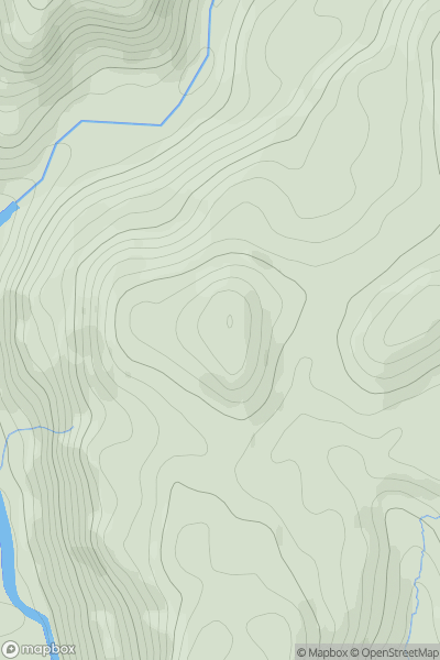
Ascents
Llandovery to Monmouth
0
617.3User Activity
No recent Activity
0
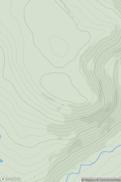
Ascents
Barmouth to Betws-y-Coed and Bala
0
239.0User Activity
No recent Activity
0
Ascents
Neath to Chepstow
0
307.0User Activity
No recent Activity
0
Ascents
Welshpool to Hay-on-Wye
0
361.0User Activity
No recent Activity