


0
Ascents

 Barmouth to Betws-y-Coed and Bala
 0
0 441.0
441.0User Activity
No recent Activity
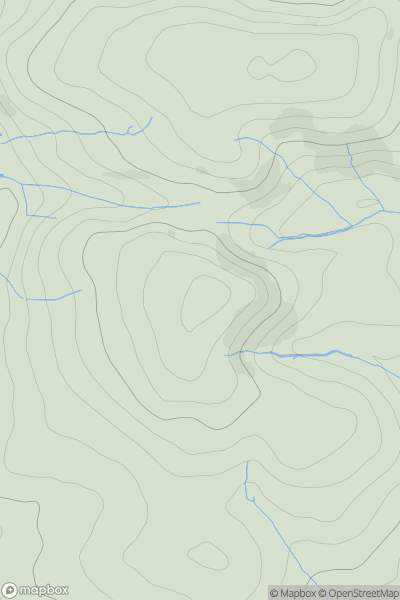
![Thumbnail image for Pen y Garn [Snowdonia] showing contour plot for surrounding peak](/static/img/mountains_img_db/14796_Pen_y_Garn_[Snowdonia].png)
0
Ascents
Snowdonia
0
135.0User Activity
No recent Activity
0
Ascents
South-West Wales
0
308.1User Activity
No recent Activity
0
Ascents
Snowdonia
0
818.0User Activity
No recent Activity
0
Ascents
South-West Wales
0
500.0User Activity
No recent Activity
0
Ascents
South-West Wales
0
134.0User Activity
No recent Activity