


0
Ascents

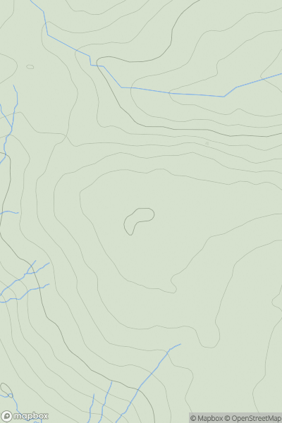
 Llandovery to Monmouth
 0
0 454.0
454.0User Activity
No recent Activity
0
Ascents
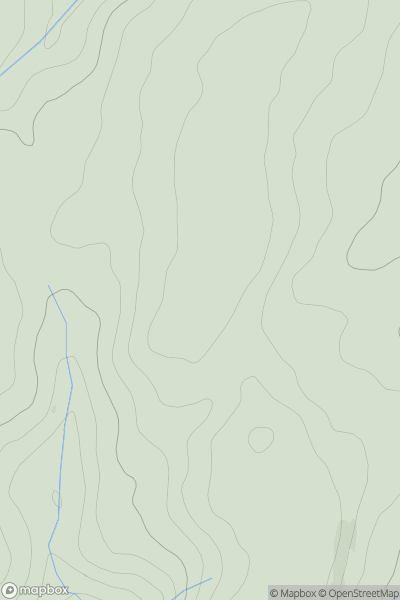
Welshpool to Hay-on-Wye
0
493.0User Activity
No recent Activity
0
Ascents
Welshpool to Hay-on-Wye
0
421.0User Activity
No recent Activity
0
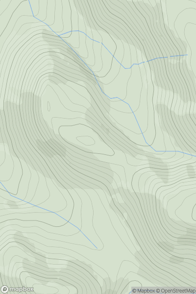
Ascents
Llandovery to Monmouth
0
456.0User Activity
No recent Activity
0
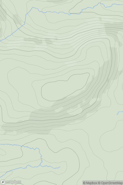
Ascents
Snowdonia
0
831.0User Activity
No recent Activity
0
Ascents
Snowdonia
0
36.0User Activity
No recent Activity