


0
Ascents

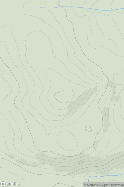
 Bala to Welshpool
 0
0 548.0
548.0User Activity
No recent Activity
0
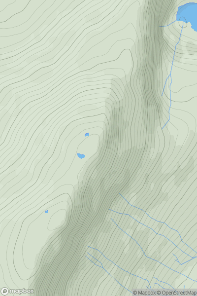
Ascents
Bala to Welshpool
0
840.0User Activity
No recent Activity
0
Ascents
Anglesey and the Lleyn Peninsula
0
88.0User Activity
No recent Activity
0
Ascents
Welshpool to Hay-on-Wye
0
367.0User Activity
No recent Activity
0
Ascents
Llandovery to Monmouth
0
228.0User Activity
No recent Activity
0
Ascents
South-West Wales
0
400.0User Activity
No recent Activity