


0
Ascents

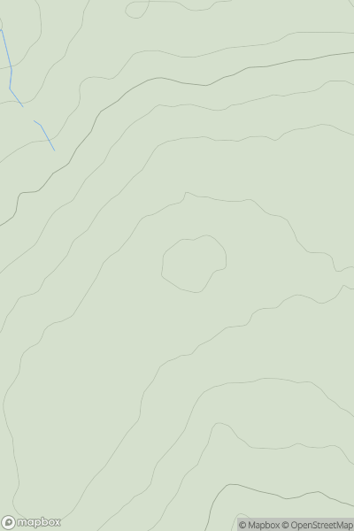
 South-West Wales
 0
0 503.5
503.5User Activity
No recent Activity
0
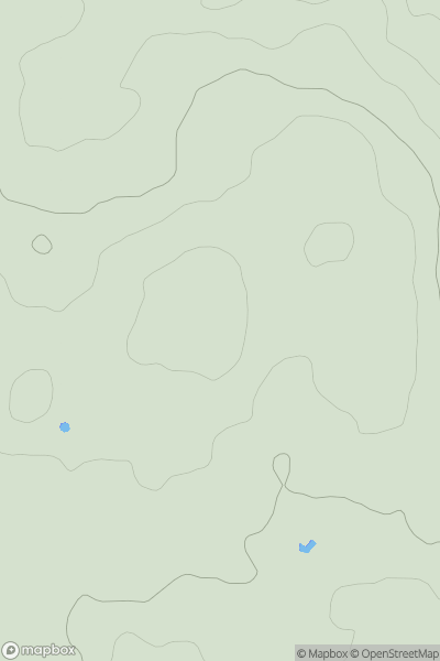
Ascents
South-West Wales
0
144.0User Activity
No recent Activity
0
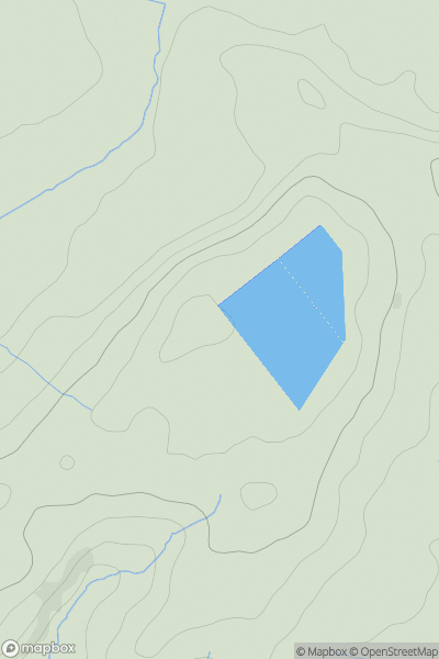
Ascents
Carmarthen to Vale of Neath
0
75.0User Activity
No recent Activity
0
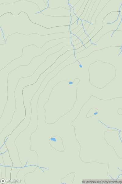
Ascents
Neath to Chepstow
0
68.0User Activity
No recent Activity
0
Ascents
Llandudno to Wrexham
0
492.0User Activity
No recent Activity
0
Ascents
Welshpool to Hay-on-Wye
0
383.0User Activity
No recent Activity