


0
Ascents

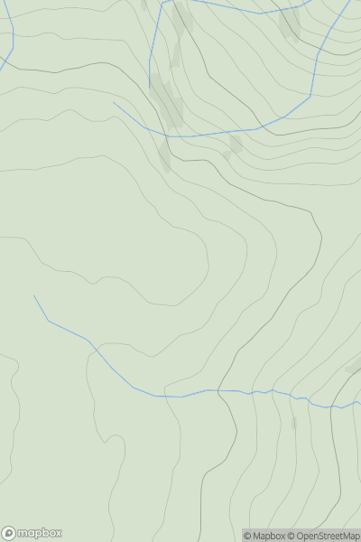
 Aberystwyth to Welshpool
 0
0 488.0
488.0User Activity
No recent Activity
0
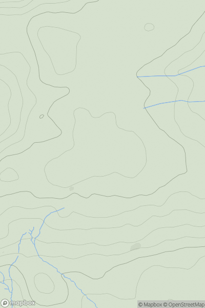
Ascents
Llandovery to Monmouth
0
472.0User Activity
No recent Activity
0
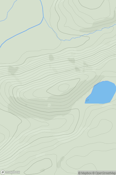
Ascents
Bala to Welshpool
0
265.0User Activity
No recent Activity
0
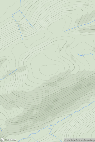
Ascents
Bala to Welshpool
0
540.0User Activity
No recent Activity
0
Ascents
Dolgellau to Machynlleth
0
258.0User Activity
No recent Activity
.png)
0
Ascents
Dolgellau to Machynlleth
0
546.0User Activity
No recent Activity