


0
Ascents

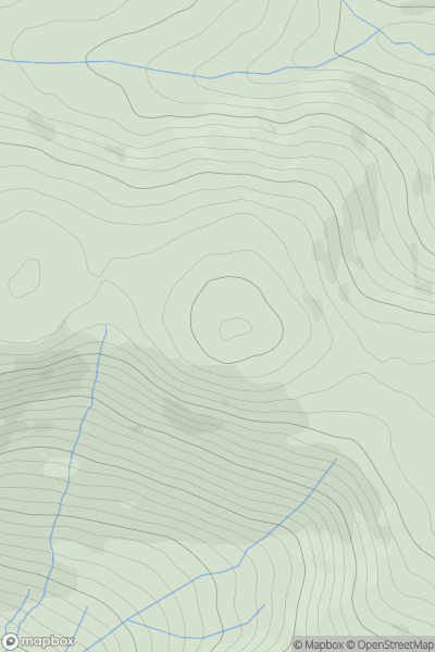
 Bala to Welshpool
 0
0 665.0
665.0User Activity
No recent Activity
0
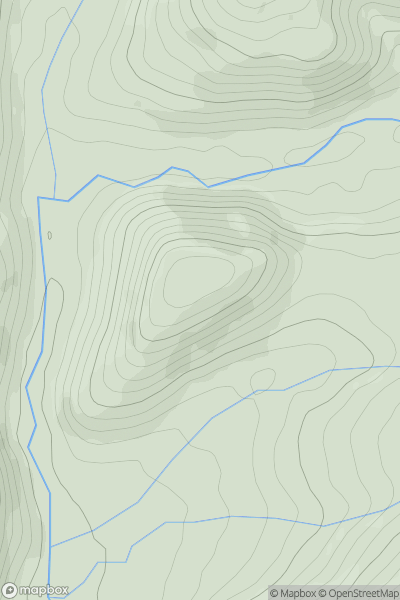
Ascents
South-West Wales
0
280.0User Activity
No recent Activity
0
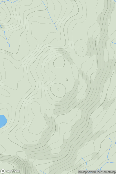
Ascents
Barmouth to Betws-y-Coed and Bala
0
518.4User Activity
No recent Activity
0
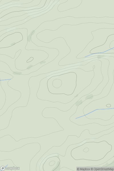
Ascents
Bala to Welshpool
0
268.0User Activity
No recent Activity
0
Ascents
Snowdonia
0
669.0User Activity
No recent Activity
0
Ascents
South-West Wales
0
174.7User Activity
No recent Activity