


0
Ascents

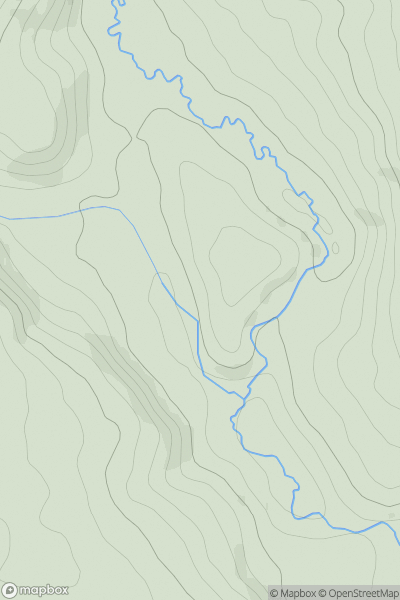
 South-West Wales
 0
0 462.0
462.0User Activity
No recent Activity
0
Ascents
Llandudno to Wrexham
0
251.0User Activity
No recent Activity
0
Ascents
Welshpool to Hay-on-Wye
0
477.0User Activity
No recent Activity
0
Ascents
Neath to Chepstow
0
194.0User Activity
No recent Activity
0
Ascents
South-West Wales
0
127.0User Activity
No recent Activity
0
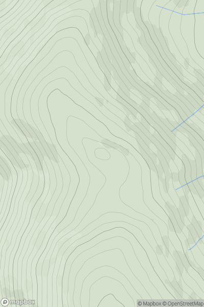
Ascents
Snowdonia
0
686.0User Activity
No recent Activity