


0
Ascents

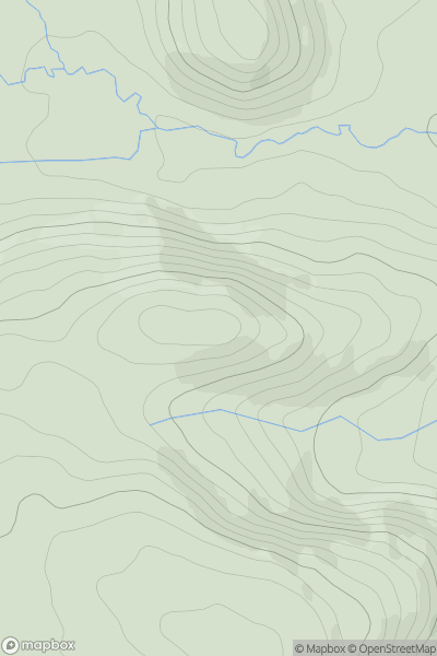
 Welshpool to Hay-on-Wye
 0
0 445.0
445.0User Activity
No recent Activity
0
Ascents
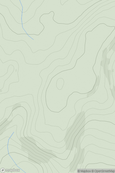
South-West Wales
0
366.0User Activity
No recent Activity
0
Ascents
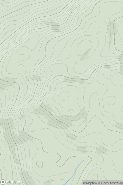
Dolgellau to Machynlleth
0
309.0User Activity
No recent Activity
0
Ascents
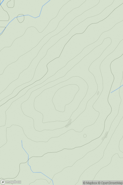
South-West Wales
0
148.0User Activity
No recent Activity
0
Ascents
Carmarthen to Vale of Neath
0
324.0User Activity
No recent Activity
0
Ascents
Carmarthen to Vale of Neath
0
66.4User Activity
No recent Activity