


0
Ascents

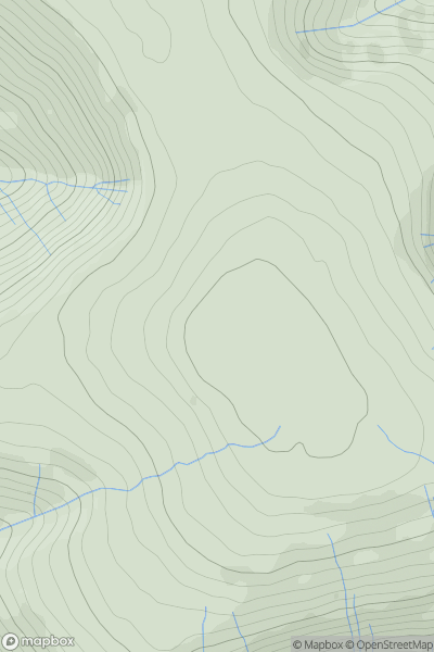
 Llandovery to Monmouth
 0
0 811.0
811.0User Activity
No recent Activity
0
Ascents
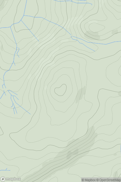
Bala to Welshpool
0
311.0User Activity
No recent Activity
0
Ascents
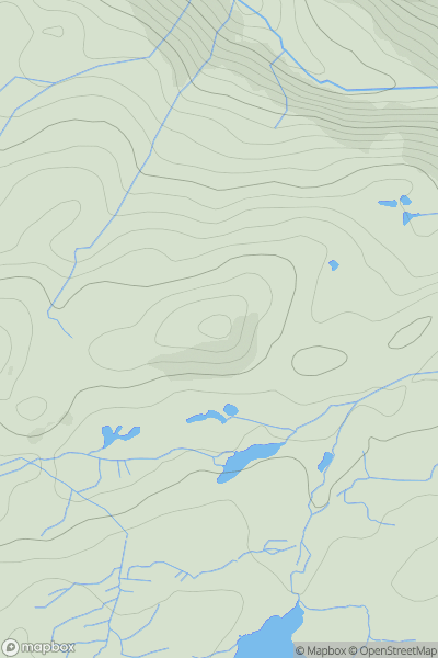
Barmouth to Betws-y-Coed and Bala
0
238.0User Activity
No recent Activity
0
Ascents
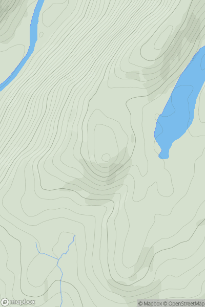
Barmouth to Betws-y-Coed and Bala
0
290.0User Activity
No recent Activity
0
Ascents
Dolgellau to Machynlleth
0
312.0User Activity
No recent Activity
0
Ascents
Llandudno to Wrexham
0
404.0User Activity
No recent Activity