


0
Ascents

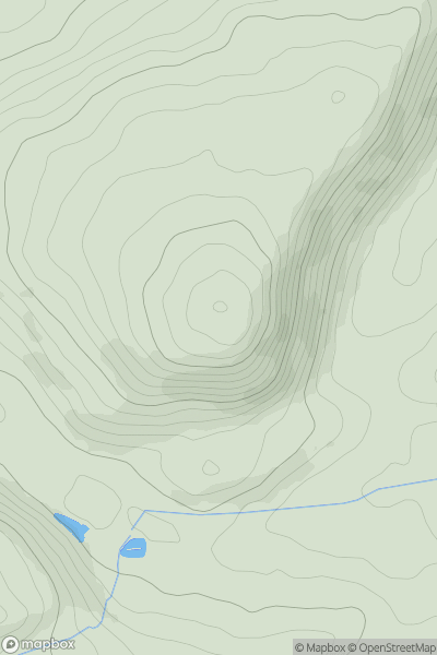
 Bala to Welshpool
 0
0 338.0
338.0User Activity
No recent Activity
0
Ascents
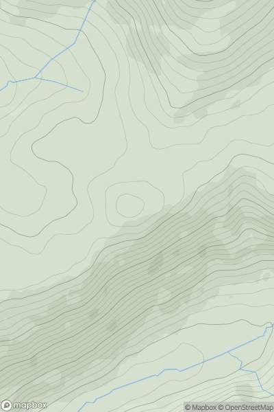
Dolgellau to Machynlleth
0
346.0User Activity
No recent Activity
0
Ascents
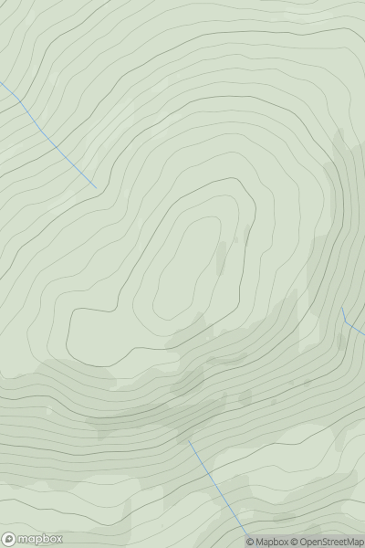
Barmouth to Betws-y-Coed and Bala
0
734.0User Activity
No recent Activity
0
Ascents
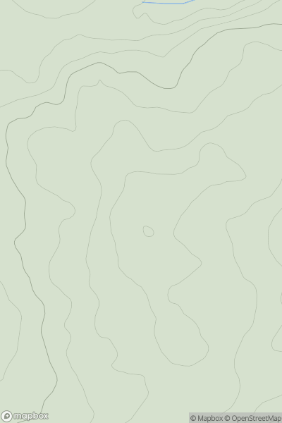
Llandovery to Monmouth
0
288.0User Activity
No recent Activity
0
Ascents
South-West Wales
0
216.0User Activity
No recent Activity
0
Ascents
Llandovery to Monmouth
0
602.0User Activity
No recent Activity