


0
Ascents

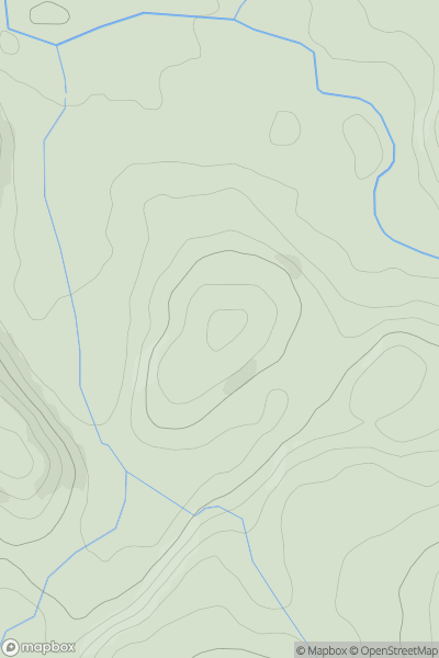
 South-West Wales
 0
0 124.0
124.0User Activity
No recent Activity
0
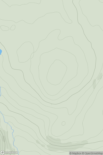
Ascents
Barmouth to Betws-y-Coed and Bala
0
339.0User Activity
No recent Activity
0
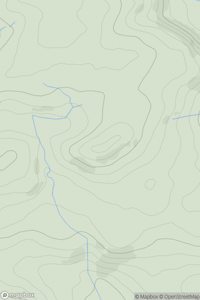
Ascents
Bala to Welshpool
0
330.8User Activity
No recent Activity
0
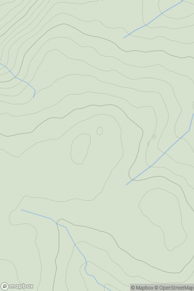
Ascents
Aberystwyth to Welshpool
0
622.0User Activity
No recent Activity
0
Ascents
Aberystwyth to Welshpool
0
170.0User Activity
No recent Activity
0
Ascents
Barmouth to Betws-y-Coed and Bala
0
505.0User Activity
No recent Activity