


0
Ascents

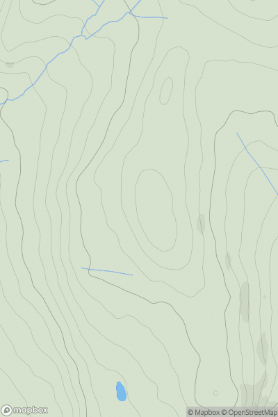
 Carmarthen to Vale of Neath
 0
0 245.0
245.0User Activity
No recent Activity
0
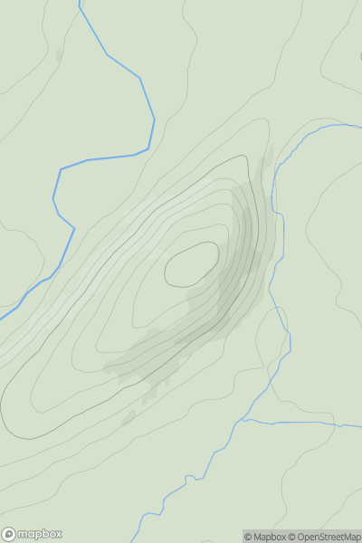
Ascents
South-West Wales
0
207.0User Activity
No recent Activity
0
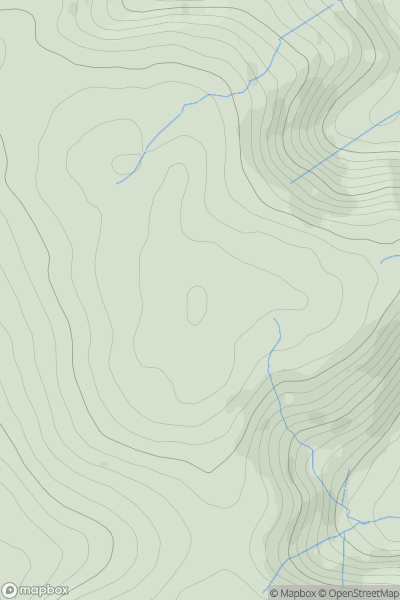
Ascents
South-West Wales
0
345.0User Activity
No recent Activity
0
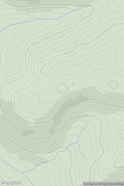
Ascents
Bala to Welshpool
0
401.5User Activity
No recent Activity
0
Ascents
Welshpool to Hay-on-Wye
0
395.0User Activity
No recent Activity
0
Ascents
Dolgellau to Machynlleth
0
140.7User Activity
No recent Activity