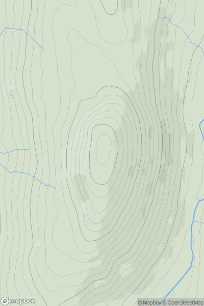
Ariel drone view of mountainous landscape with rolling clouds flowing over peak

Journal your hikes and share your adventures.

Bag peaks across the UK & Ireland, track your progress and see updates from Donder's growing community of hikers.

Donder's profile view available to users after sign-up, shows example user with progress tracking, hiking journal and user leaderboard

Thumbnail image for Craig y Penmaen showing contour plot for surrounding peak
WLS
Icon of location pin
419m
Icon of vertical, double ended, arrow to symbolise height of mountain

Craig y Penmaen

Icon of mountain used to symbolise the number of ascents made by users

0
Ascents

Thumbnail image for Maesglas showing contour plot for surrounding peak
WLS
Icon of location pin
311m
Icon of vertical, double ended, arrow to symbolise height of mountain

Maesglas

Icon of mountain used to symbolise the number of ascents made by users

0
Ascents

Thumbnail image for Cefn-gwyddfod showing contour plot for surrounding peak
WLS
Icon of location pin
261m
Icon of vertical, double ended, arrow to symbolise height of mountain

Cefn-gwyddfod

Icon of mountain used to symbolise the number of ascents made by users

0
Ascents

Thumbnail image for Blaenkerry showing contour plot for surrounding peak
WLS
Icon of location pin
383m
Icon of vertical, double ended, arrow to symbolise height of mountain

Blaenkerry

Icon of mountain used to symbolise the number of ascents made by users

0
Ascents

Thumbnail image for Pen-y-crug showing contour plot for surrounding peak
WLS
Icon of location pin
331m
Icon of vertical, double ended, arrow to symbolise height of mountain

Pen-y-crug

Icon of mountain used to symbolise the number of ascents made by users

0
Ascents

Thumbnail image for Dwyrhiw showing contour plot for surrounding peak
WLS
Icon of location pin
299m
Icon of vertical, double ended, arrow to symbolise height of mountain

Dwyrhiw

Icon of mountain used to symbolise the number of ascents made by users

0
Ascents