


0
Ascents

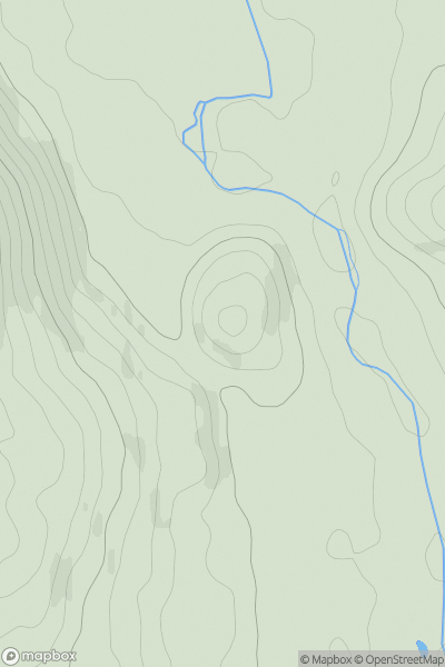
 Llandudno to Wrexham
 0
0 137.0
137.0User Activity
No recent Activity
0
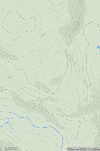
Ascents
Barmouth to Betws-y-Coed and Bala
0
398.1User Activity
No recent Activity

0
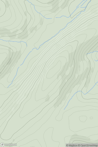
Ascents
Llandudno to Wrexham
0
465.0User Activity
No recent Activity
0
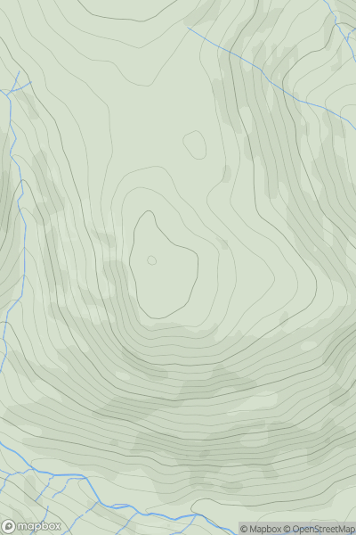
Ascents
Llandovery to Monmouth
0
396.0User Activity
No recent Activity
0
Ascents
Llandovery to Monmouth
0
513.0User Activity
No recent Activity
0
Ascents
Aberystwyth to Welshpool
0
163.0User Activity
No recent Activity