


0
Ascents

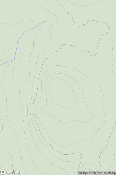
 Anglesey and the Lleyn Peninsula
 0
0 194.0
194.0User Activity
No recent Activity
0
Ascents
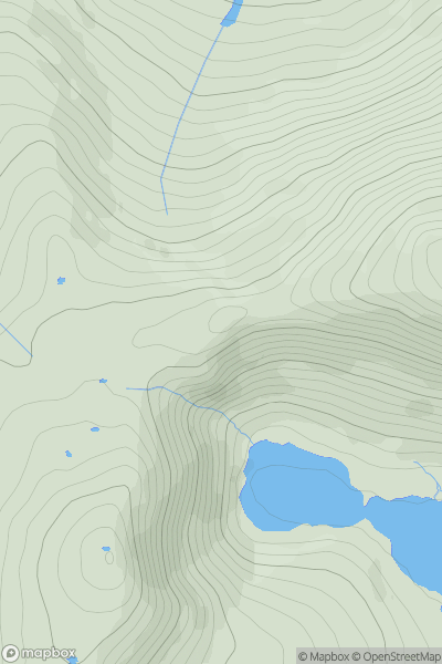
Snowdonia
0
548.0User Activity
No recent Activity
0
Ascents
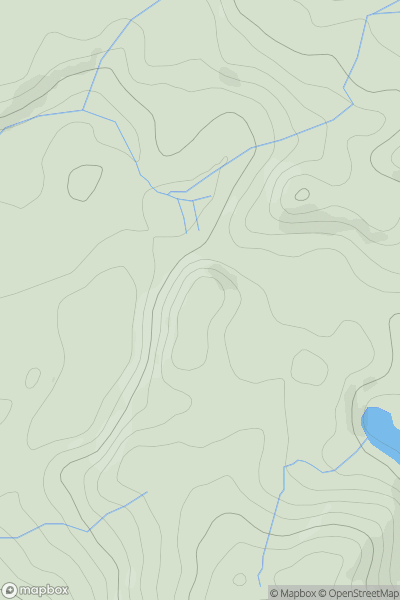
Snowdonia
0
212.0User Activity
No recent Activity
0
Ascents
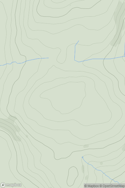
South-West Wales
0
499.1User Activity
No recent Activity
0
Ascents
South-West Wales
0
462.7User Activity
No recent Activity
0
Ascents
South-West Wales
0
90.0User Activity
No recent Activity