


0
Ascents

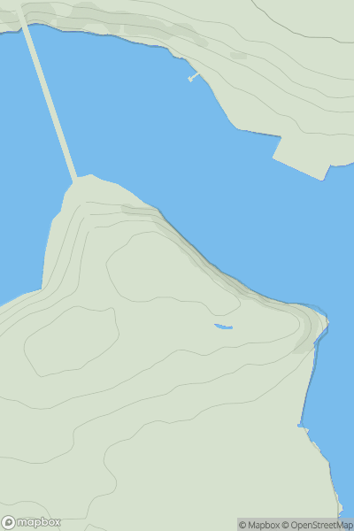
 South-West Wales
 0
0 227.0
227.0User Activity
No recent Activity
0
Ascents
Aberystwyth to Welshpool
0
240.0User Activity
No recent Activity
0
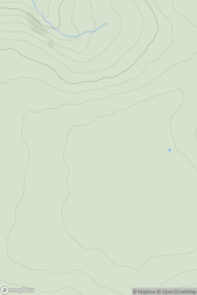
Ascents
South-West Wales
0
320.0User Activity
No recent Activity
0
Ascents
South-West Wales
0
349.7User Activity
No recent Activity
0
Ascents
South-West Wales
0
45.0User Activity
No recent Activity
0
Ascents
South-West Wales
0
239.0User Activity
No recent Activity