


0
Ascents

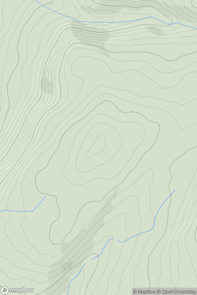
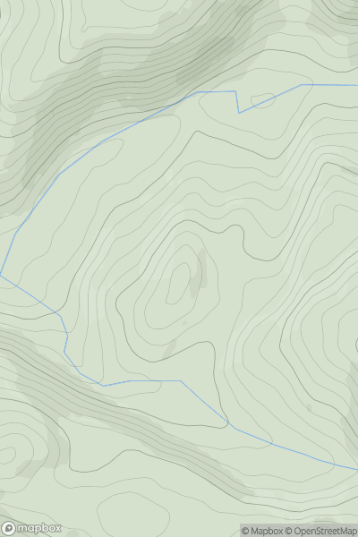
 Aberystwyth to Welshpool
 0
0 235.0
235.0User Activity
No recent Activity
0
Ascents
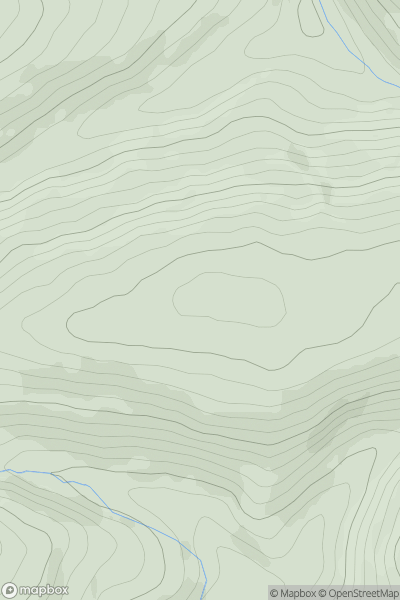
Bala to Welshpool
0
464.6User Activity
No recent Activity
0
Ascents
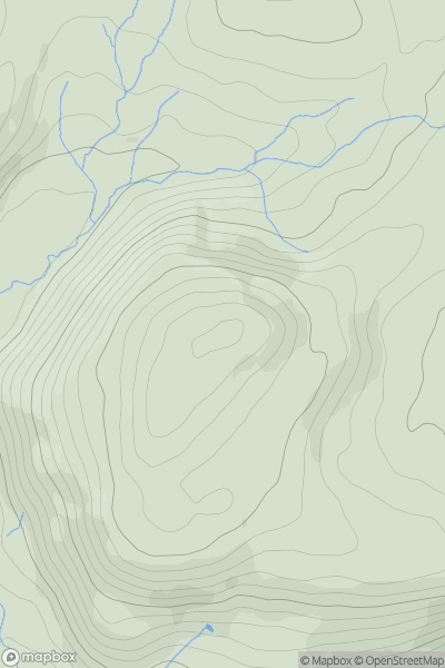
South-West Wales
0
244.4User Activity
No recent Activity
0
Ascents
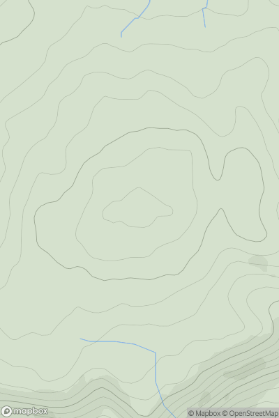
Llandudno to Wrexham
0
281.0User Activity
No recent Activity
0
Ascents
South-West Wales
0
340.7User Activity
No recent Activity
0
Ascents
Llandudno to Wrexham
0
194.0User Activity
No recent Activity