


0
Ascents

 Llandudno to Wrexham
 0
0 434.0
434.0User Activity
No recent Activity
0
Ascents
South-West Wales
0
172.0User Activity
No recent Activity
0
Ascents
Llandovery to Monmouth
0
551.0User Activity
No recent Activity
0
Ascents
Snowdonia
0
608.75User Activity
No recent Activity
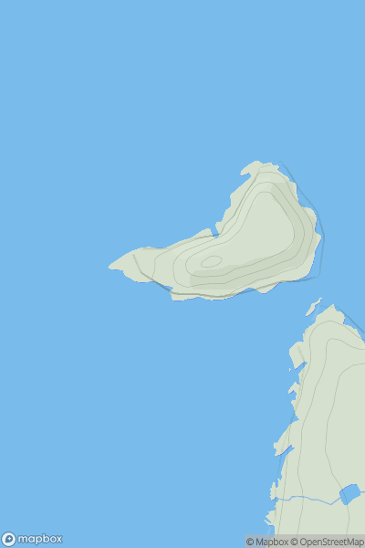
![Thumbnail image for Pen-twyn [Neath to Chepstow] showing contour plot for surrounding peak](/static/img/mountains_img_db/15709_Pen-twyn_[Neath_to_Chepstow].png)
0
Ascents
Neath to Chepstow
0
309.0User Activity
No recent Activity
0
Ascents
South-West Wales
0
52.0User Activity
No recent Activity