


0
Ascents

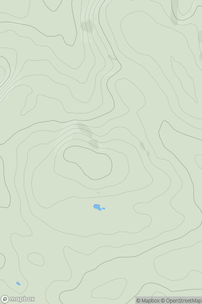
 Llandudno to Wrexham
 0
0 364.0
364.0User Activity
No recent Activity
0
Ascents
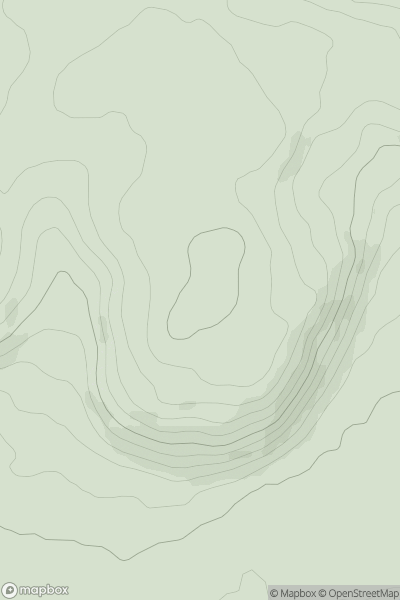
South-West Wales
0
257.0User Activity
No recent Activity
0
Ascents
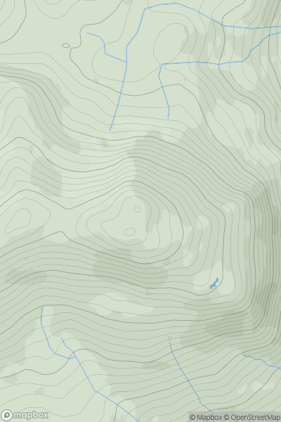
Snowdonia
0
553.0User Activity
No recent Activity
0
Ascents
Snowdonia
0
87.3User Activity
No recent Activity
0
Ascents
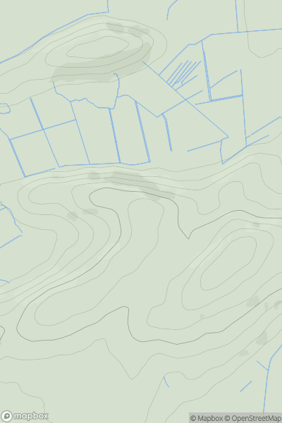
Barmouth to Betws-y-Coed and Bala
0
854.0User Activity
No recent Activity
0
Ascents
Neath to Chepstow
0
448.0User Activity
No recent Activity