


0
Ascents

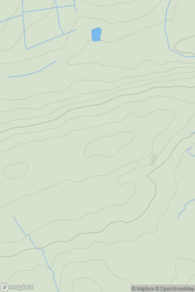
 Neath to Chepstow
 0
0 114.0
114.0User Activity
No recent Activity
0
Ascents
Neath to Chepstow
0
382.0User Activity
No recent Activity
0
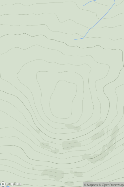
Ascents
Barmouth to Betws-y-Coed and Bala
0
369.0User Activity
No recent Activity
0
Ascents
Neath to Chepstow
0
515.0User Activity
No recent Activity
0
Ascents
Neath to Chepstow
0
134.0User Activity
No recent Activity
0
Ascents
Barmouth to Betws-y-Coed and Bala
0
447.5User Activity
No recent Activity