


0
Ascents

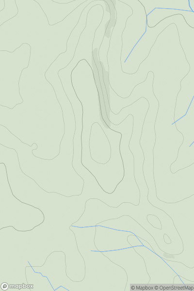
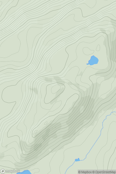
 Llandovery to Monmouth
 0
0 117.0
117.0User Activity
No recent Activity
0
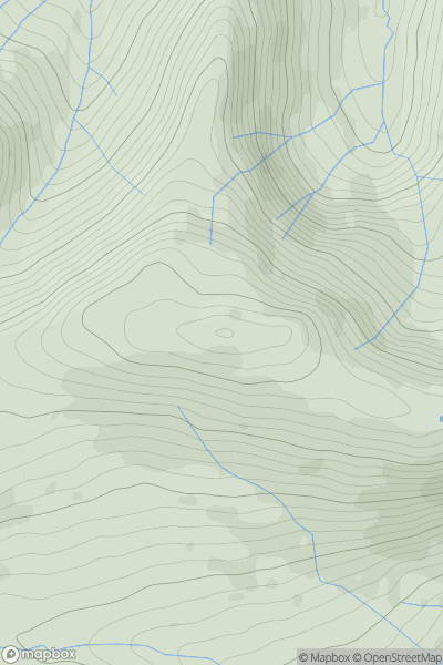
Ascents
Bala to Welshpool
0
689.0User Activity
No recent Activity
0
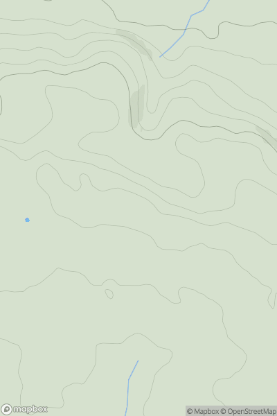
Ascents
Neath to Chepstow
0
135.2User Activity
No recent Activity
0
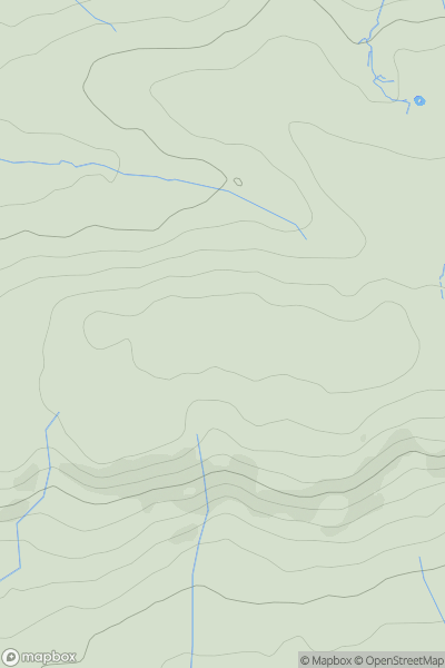
Ascents
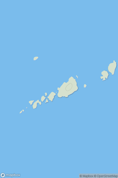
South-West Wales
0
147.0User Activity
No recent Activity
0
Ascents
Dolgellau to Machynlleth
0
382.9User Activity
No recent Activity
0
Ascents
South-West Wales
0
44.0User Activity
No recent Activity