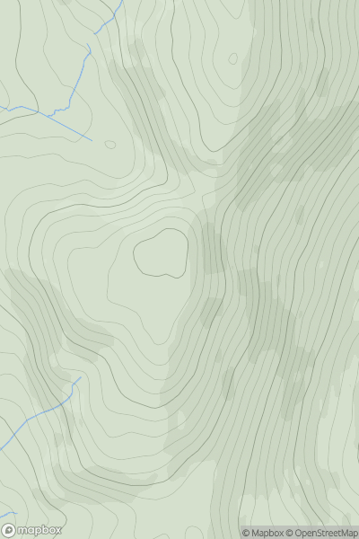
Ariel drone view of mountainous landscape with rolling clouds flowing over peak

Journal your hikes and share your adventures.

Bag peaks across the UK & Ireland, track your progress and see updates from Donder's growing community of hikers.

Donder's profile view available to users after sign-up, shows example user with progress tracking, hiking journal and user leaderboard

Thumbnail image for Mynydd Egryn South Top showing contour plot for surrounding peak
WLS
Icon of location pin
462m
Icon of vertical, double ended, arrow to symbolise height of mountain

Mynydd Egryn South Top

Icon of mountain used to symbolise the number of ascents made by users

0
Ascents

Thumbnail image for Penbigwrn showing contour plot for surrounding peak
WLS
Icon of location pin
151m
Icon of vertical, double ended, arrow to symbolise height of mountain

Penbigwrn

Icon of mountain used to symbolise the number of ascents made by users

0
Ascents

Thumbnail image for Burry Holms showing contour plot for surrounding peak
WLS
Icon of location pin
30m
Icon of vertical, double ended, arrow to symbolise height of mountain

Burry Holms

Icon of mountain used to symbolise the number of ascents made by users

0
Ascents

Thumbnail image for Cynwch Bank showing contour plot for surrounding peak
WLS
Icon of location pin
499m
Icon of vertical, double ended, arrow to symbolise height of mountain

Cynwch Bank

Icon of mountain used to symbolise the number of ascents made by users

0
Ascents

Thumbnail image for Y Fan showing contour plot for surrounding peak
WLS
Icon of location pin
170m
Icon of vertical, double ended, arrow to symbolise height of mountain

Y Fan

Icon of mountain used to symbolise the number of ascents made by users

0
Ascents

Thumbnail image for Mynydd Uchaf showing contour plot for surrounding peak
WLS
Icon of location pin
357m
Icon of vertical, double ended, arrow to symbolise height of mountain

Mynydd Uchaf

Icon of mountain used to symbolise the number of ascents made by users

0
Ascents