


0
Ascents

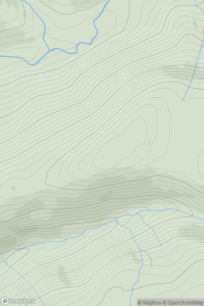
 Aberystwyth to Welshpool
 0
0 449.7
449.7User Activity
No recent Activity
0
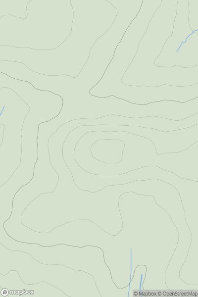
Ascents
Llandudno to Wrexham
0
447.4User Activity
No recent Activity
0
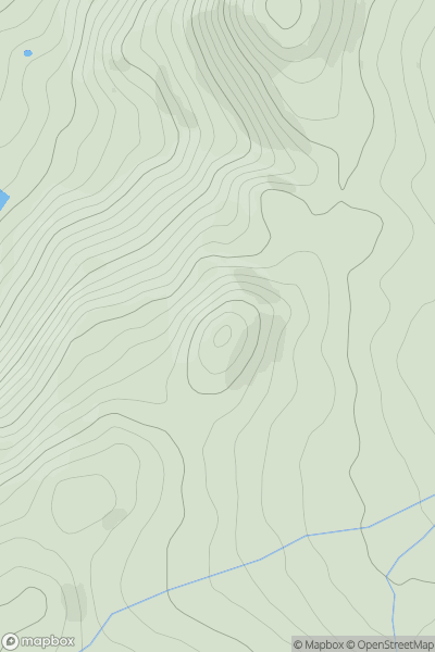
Ascents
Snowdonia
0
381.0User Activity
No recent Activity
0
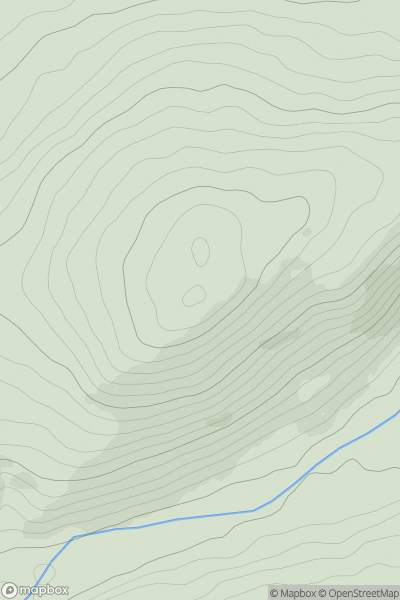
Ascents
South-West Wales
0
278.0User Activity
No recent Activity
0
Ascents
Llandovery to Monmouth
0
377.0User Activity
No recent Activity
0
Ascents
Llandovery to Monmouth
0
456.4User Activity
No recent Activity