


0
Ascents

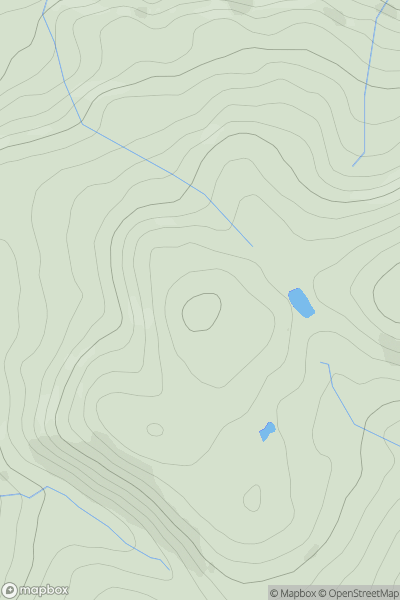
 Llandudno to Wrexham
 0
0 306.8
306.8User Activity
No recent Activity
0
Ascents
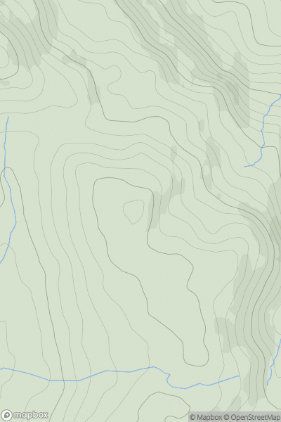
Barmouth to Betws-y-Coed and Bala
0
518.0User Activity
No recent Activity
0
Ascents
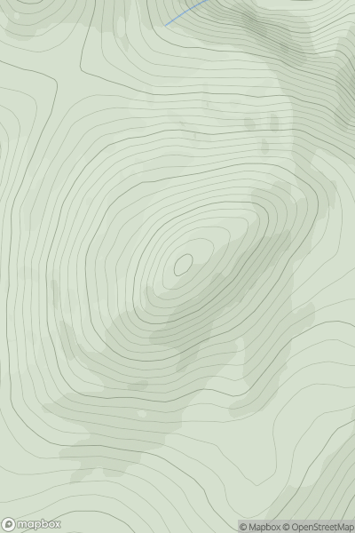
Anglesey and the Lleyn Peninsula
0
560.7User Activity
No recent Activity
0
Ascents
South-West Wales
0
241.0User Activity
No recent Activity
0
Ascents
Bala to Welshpool
0
414.0User Activity
No recent Activity
0
Ascents
South-West Wales
0
365.0User Activity
No recent Activity