


0
Ascents

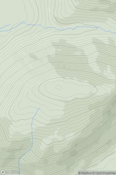
 Aberystwyth to Welshpool
 0
0 484.9
484.9User Activity
No recent Activity
0
Ascents
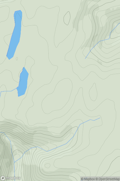
Bala to Welshpool
0
614.0User Activity
No recent Activity
0
Ascents
Neath to Chepstow
0
251.0User Activity
No recent Activity
0
Ascents
South-West Wales
0
524.6User Activity
No recent Activity
0
Ascents
Dolgellau to Machynlleth
0
380.0User Activity
No recent Activity
0
Ascents
South-West Wales
0
556.0User Activity
No recent Activity