


0
Ascents

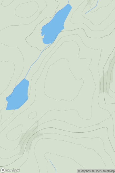
 South-West Wales
 0
0 547.0
547.0User Activity
No recent Activity
0
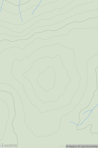
Ascents
Llandudno to Wrexham
0
497.8User Activity
No recent Activity
0
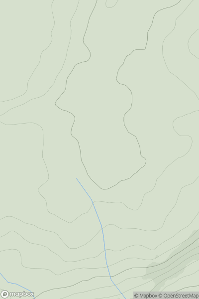
Ascents
Llandudno to Wrexham
0
308.0User Activity
No recent Activity
0
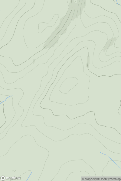
Ascents
South-West Wales
0
527.0User Activity
No recent Activity
0
Ascents
Neath to Chepstow
0
109.0User Activity
No recent Activity
0
Ascents
Snowdonia
0
201.0User Activity
No recent Activity