


0
Ascents

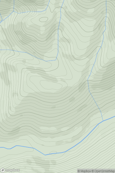
 Bala to Welshpool
 0
0 303.5
303.5User Activity
No recent Activity
0
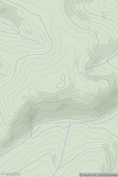
Ascents
Aberystwyth to Welshpool
0
316.0User Activity
No recent Activity
0
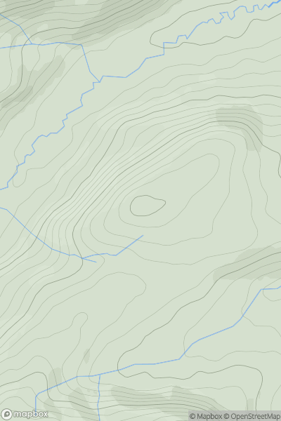
Ascents
Bala to Welshpool
0
312.0User Activity
No recent Activity
0
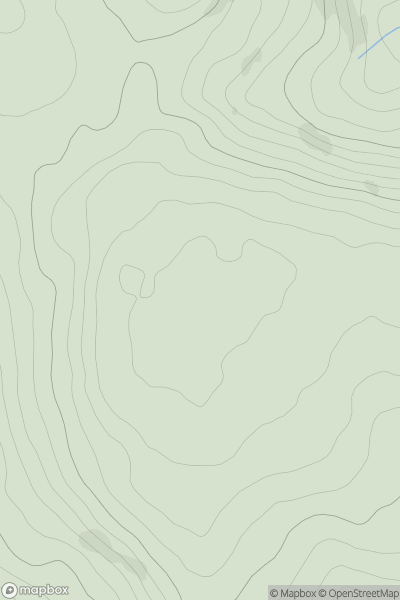
Ascents
Neath to Chepstow
0
285.0User Activity
No recent Activity
0
Ascents
South-West Wales
0
178.0User Activity
No recent Activity
0
Ascents
Welshpool to Hay-on-Wye
0
660.0User Activity
No recent Activity