


0
Ascents

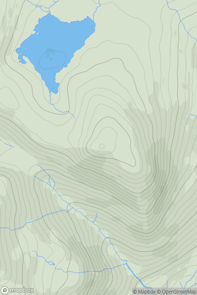
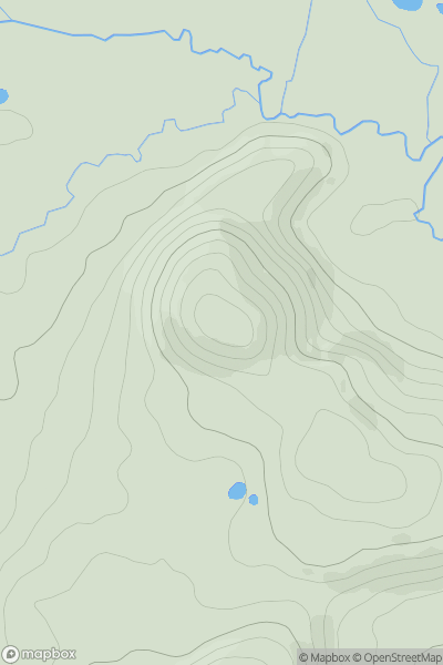
 Snowdonia
 0
0 482.0
482.0User Activity
No recent Activity
0
Ascents
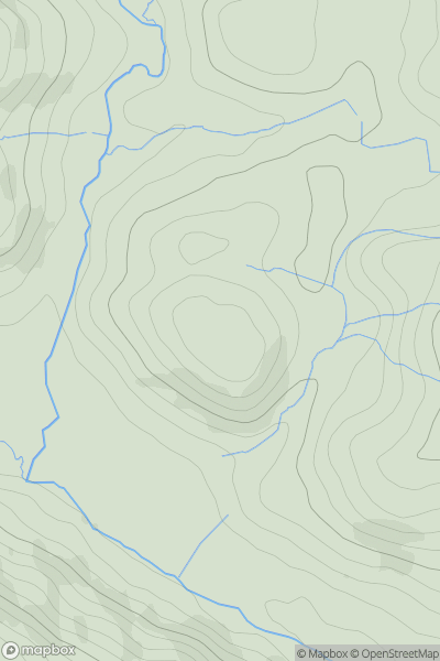
Aberystwyth to Welshpool
0
192.0User Activity
No recent Activity
0
Ascents
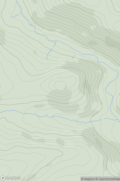
Llandovery to Monmouth
0
362.0User Activity
No recent Activity
0
Ascents
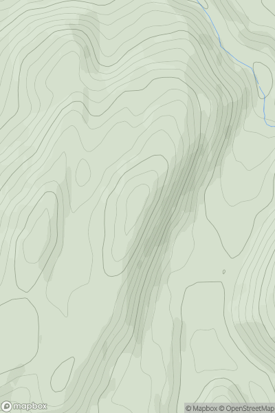
Aberystwyth to Welshpool
0
228.0User Activity
No recent Activity
0
Ascents
Bala to Welshpool
0
201.0User Activity
No recent Activity
0
Ascents
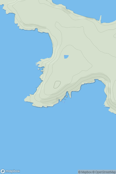
South-West Wales
0
60.0User Activity
No recent Activity