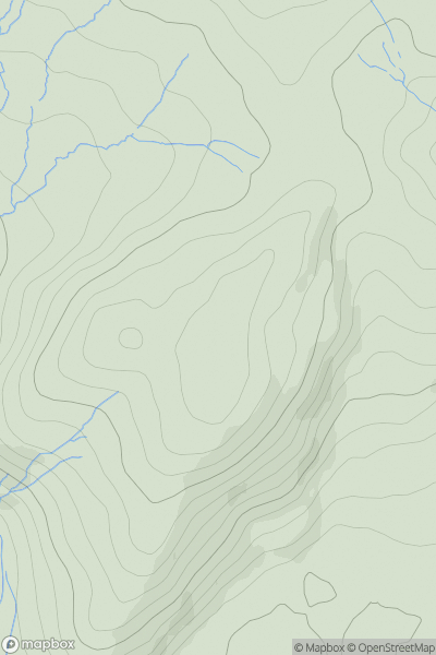
Ariel drone view of mountainous landscape with rolling clouds flowing over peak

Journal your hikes and share your adventures.

Bag peaks across the UK & Ireland, track your progress and see updates from Donder's growing community of hikers.

Donder's profile view available to users after sign-up, shows example user with progress tracking, hiking journal and user leaderboard

Thumbnail image for Y Garth [South-West Wales] showing contour plot for surrounding peak
WLS
Icon of location pin
433m
Icon of vertical, double ended, arrow to symbolise height of mountain

Y Garth [South-West Wales]

Icon of mountain used to symbolise the number of ascents made by users

0
Ascents

Thumbnail image for Ddifed showing contour plot for surrounding peak
WLS
Icon of location pin
412m
Icon of vertical, double ended, arrow to symbolise height of mountain

Ddifed

Icon of mountain used to symbolise the number of ascents made by users

0
Ascents

Thumbnail image for Pen Garneddwen showing contour plot for surrounding peak
WLS
Icon of location pin
479m
Icon of vertical, double ended, arrow to symbolise height of mountain

Pen Garneddwen

Icon of mountain used to symbolise the number of ascents made by users

0
Ascents

Thumbnail image for Moel Fenni Fach showing contour plot for surrounding peak
WLS
Icon of location pin
290m
Icon of vertical, double ended, arrow to symbolise height of mountain

Moel Fenni Fach

Icon of mountain used to symbolise the number of ascents made by users

0
Ascents

Thumbnail image for Arenig Fach showing contour plot for surrounding peak
WLS
Icon of location pin
689m
Icon of vertical, double ended, arrow to symbolise height of mountain

Arenig Fach

Icon of mountain used to symbolise the number of ascents made by users

0
Ascents

Thumbnail image for Cefnbenydd showing contour plot for surrounding peak
WLS
Icon of location pin
193m
Icon of vertical, double ended, arrow to symbolise height of mountain

Cefnbenydd

Icon of mountain used to symbolise the number of ascents made by users

0
Ascents