


0
Ascents

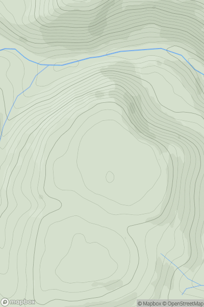
 Carmarthen to Vale of Neath
 0
0 280.0
280.0User Activity
No recent Activity
0
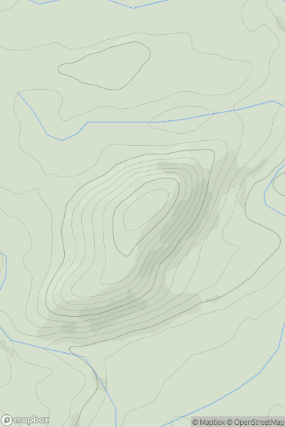
Ascents
Barmouth to Betws-y-Coed and Bala
0
486.0User Activity
No recent Activity
0
Ascents
Llandudno to Wrexham
0
293.8User Activity
No recent Activity
0
Ascents
Neath to Chepstow
0
440.0User Activity
No recent Activity
0
Ascents
Aberystwyth to Welshpool
0
475.0User Activity
No recent Activity
0
Ascents
Bala to Welshpool
0
217.6User Activity
No recent Activity