


0
Ascents

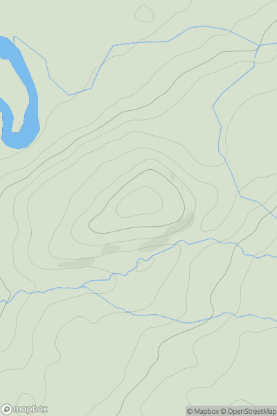
 Carmarthen to Vale of Neath
 0
0 115.9
115.9User Activity
No recent Activity
0
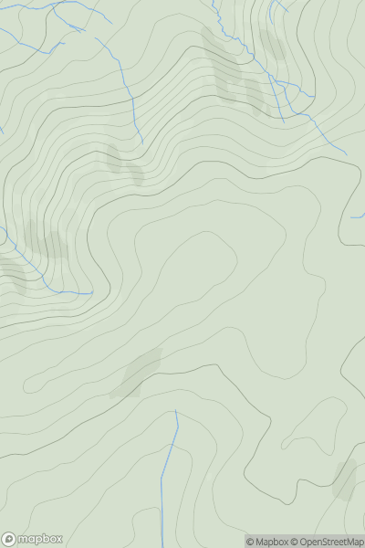
Ascents
Llandovery to Monmouth
0
440.0User Activity
No recent Activity
0
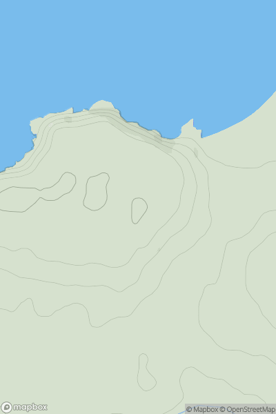
Ascents
Carmarthen to Vale of Neath
0
62.0User Activity
No recent Activity

0
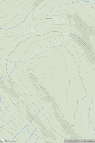
Ascents
Barmouth to Betws-y-Coed and Bala
0
405.0User Activity
No recent Activity
0
Ascents
Neath to Chepstow
0
322.0User Activity
No recent Activity
0
Ascents
Llandovery to Monmouth
0
556.0User Activity
No recent Activity