


0
Ascents

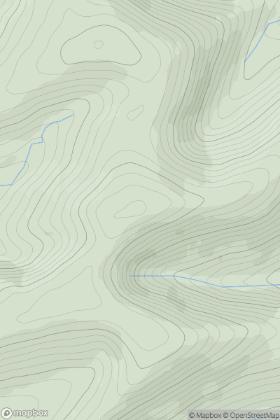
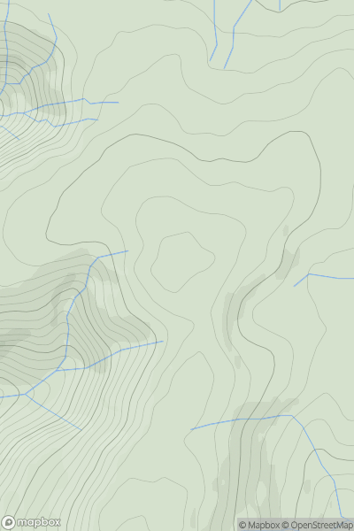
 Aberystwyth to Welshpool
 0
0 388.0
388.0User Activity
No recent Activity
0
Ascents
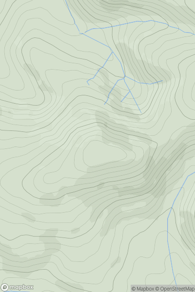
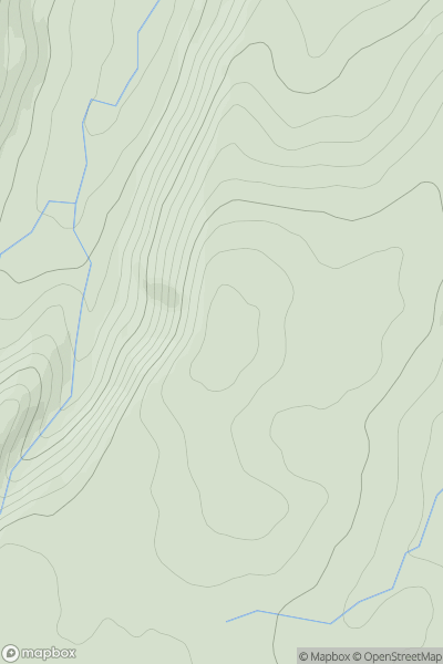
Bala to Welshpool
0
453.4User Activity
No recent Activity
0
Ascents
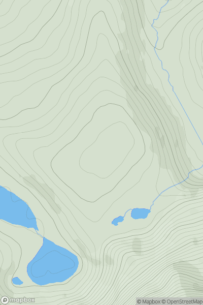
Snowdonia
0
422.0User Activity
No recent Activity
0
Ascents
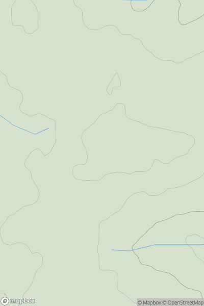
South-West Wales
0
81.0User Activity
No recent Activity
0
Ascents
Bala to Welshpool
0
589.0User Activity
No recent Activity
0
Ascents
Welshpool to Hay-on-Wye
0
436.1User Activity
No recent Activity