

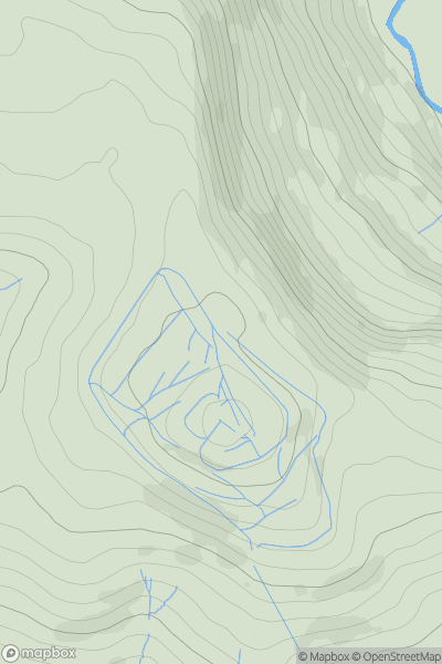


0
Ascents

 Neath to Chepstow
 0
0 349.0
349.0User Activity
No recent Activity
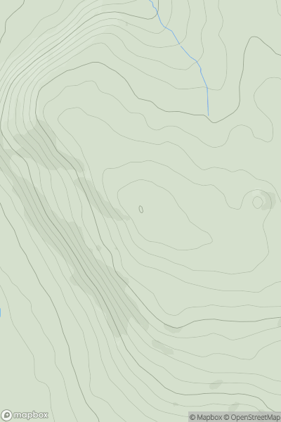
0
Ascents
Neath to Chepstow
0
255.0User Activity
No recent Activity
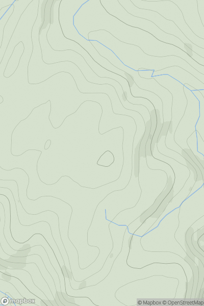
0
Ascents
South-West Wales
0
454.0User Activity
No recent Activity
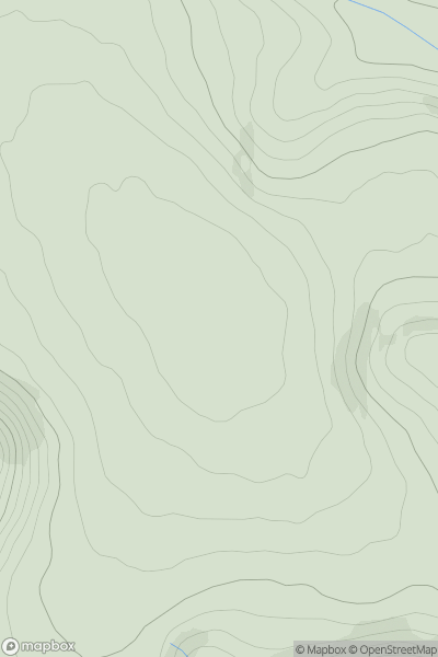
0
Ascents
Neath to Chepstow
0
551.0User Activity
No recent Activity
0
Ascents
Welshpool to Hay-on-Wye
0
586.0User Activity
No recent Activity

0
Ascents
South-West Wales
0
90.0User Activity
No recent Activity