


0
Ascents

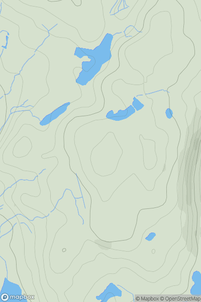
 Snowdonia
 0
0 332.0
332.0User Activity
No recent Activity
0
Ascents
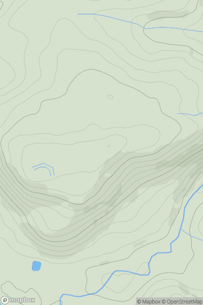
Bala to Welshpool
0
288.5User Activity
No recent Activity
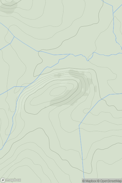
![Thumbnail image for Y Graig [Bala to Welshpool] showing contour plot for surrounding peak](/static/img/mountains_img_db/14363_Y_Graig_[Bala_to_Welshpool].png)
0
Ascents
Bala to Welshpool
0
469.0User Activity
No recent Activity
0
Ascents
Bala to Welshpool
0
659.0User Activity
No recent Activity
0
Ascents
Aberystwyth to Welshpool
0
379.0User Activity
No recent Activity
0
Ascents
Welshpool to Hay-on-Wye
0
330.0User Activity
No recent Activity